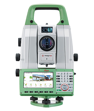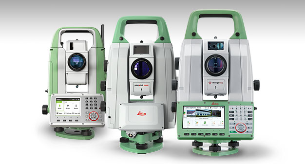
Nova MS60 MultiStation
Continuously Adapts to Any Environment
The Leica Nova MS60 MultiStation is the world’s first self-learning MultiStation for paving. It automatically and continuously adapts to any environment, despite any challenges that may occur.
Scanning with the Leica Nova MS60 has been made simpler through the instant creation of point clouds with overlaid measured points and 3D models in one view. Visualizations are clearer and easier to see on an all-new 5” screen.
The MS60 comes with the revolutionary Captivate software, turning complex data into the most realistic and workable 3D models. With easy-to-use apps and familiar touch technology, all forms of measured and design data can be viewed in all dimensions. Leica Captivate spans industries and applications with little more than a simple swipe, regardless of whether you work with GNSS, total stations or both.
While Captivate captures and models data in the field, Leica Infinity processes the information back in the office. A smooth data transfer ensures the project stays on track. Captivate and Infinity work in conjunction to join previous survey data and edit projects faster and more efficiently.
The Dynamic Lock functionality has greatly improved the lock-on capability of ATRplus in the Nova MS60 MultiStation. Get better performance with the larger search area for locking onto a moving target. The MultiStation can be used in standard surveying or high-dynamic machine control applications.
Call 262-682-4229 in Metro Milwaukee to discuss 3D paving solutions for your company, or use our simple Quick Contact Form.
Browse More Products

